Edition 2026 / VI Section 00 · Masthead Grid 12 / 8pt

Notes toward
a cosmology

An apparatus older than us has been observing us for as long as we have been a species. The materials are here, arranged on a grid.

89 total entries on this index
22 Figures
55 Places
6 Themes
6 Periods
01 22 entries

Figures

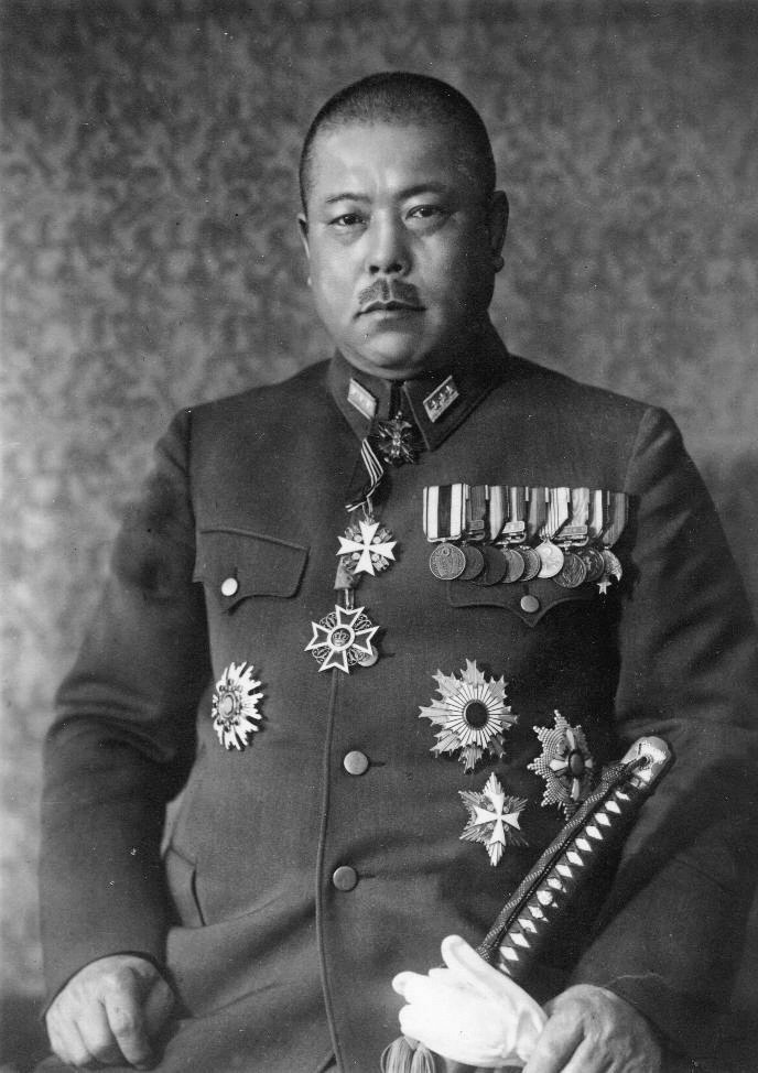
Civilians, handlers, contractors, the working-group historicals, the operator-class. The grid arranges them like blocks of poster type; each card occupies one cell, each cell a single fact.

  1. 01 DV Daniel Vasquez civilian
  2. 02 EL Elin civilian
  3. 03 EH Eric Hauschild civilian
  4. 04 JW Joan Whitfield civilian
  5. 05 LU Lucha civilian
  6. 06 MB Marina Hauschild-Bell civilian
  7. 07 MM Marisol Marquez civilian
  8. 08 PM Pop Marquez civilian
  9. 09 TP The man on the patio civilian
  10. 10 MS Maren Sandberg contractor
  11. 11 RI Reema Iyer contractor
  12. 12 GP Greta Pratt handler
  13. 13 JR John Roberts handler
  14. 14 LO Lorenzo (L. ▆▆▆▆▆▆▆▆) handler
  15. 15 PD Pat Donohoe handler
  16. 16 DW Daniel Wexler historical
  17. 17 EW Eleanor Wexler historical
  18. 18 FV Frank Voss historical
  19. 19 HC Helen Carlyle historical
  20. 20 WC William "Bill" Carlyle historical
  21. 21 SV Sshenn-vu operator
  22. 22 VS Veth-skenn operator
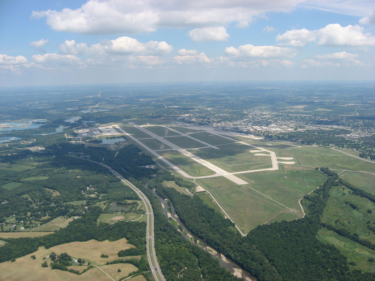
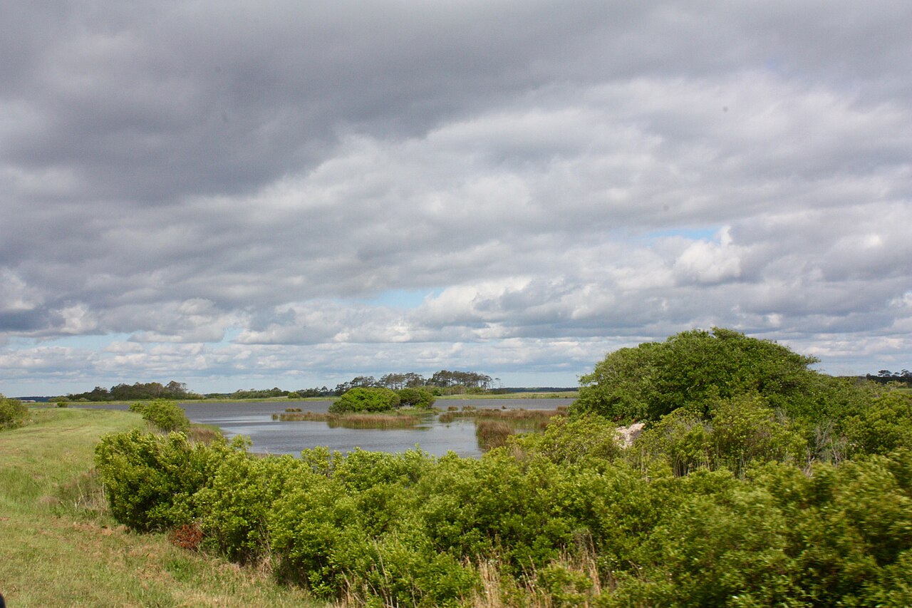
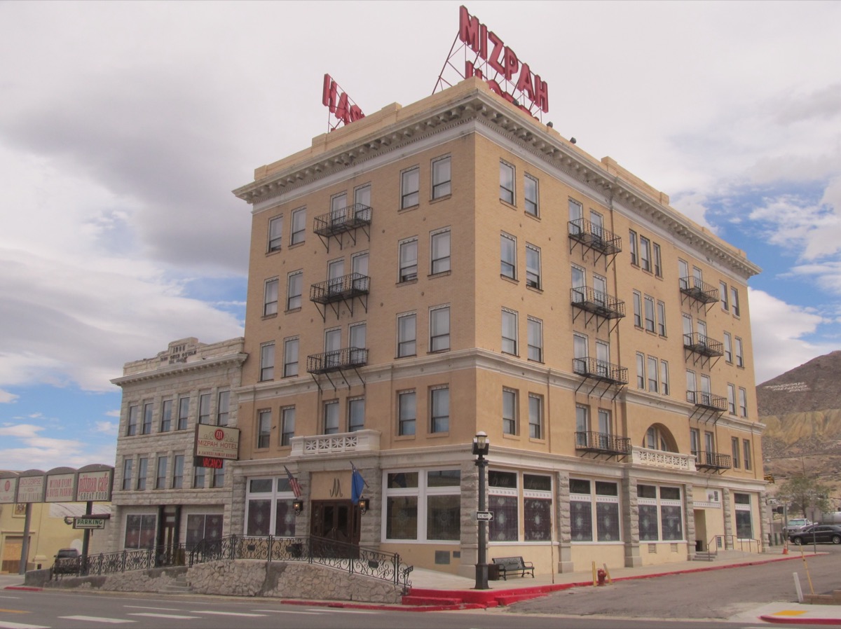
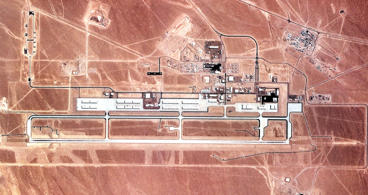
02 55 entries

Places

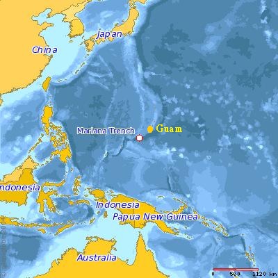
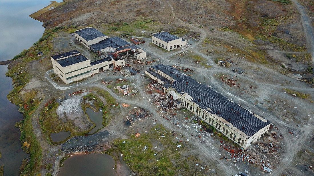
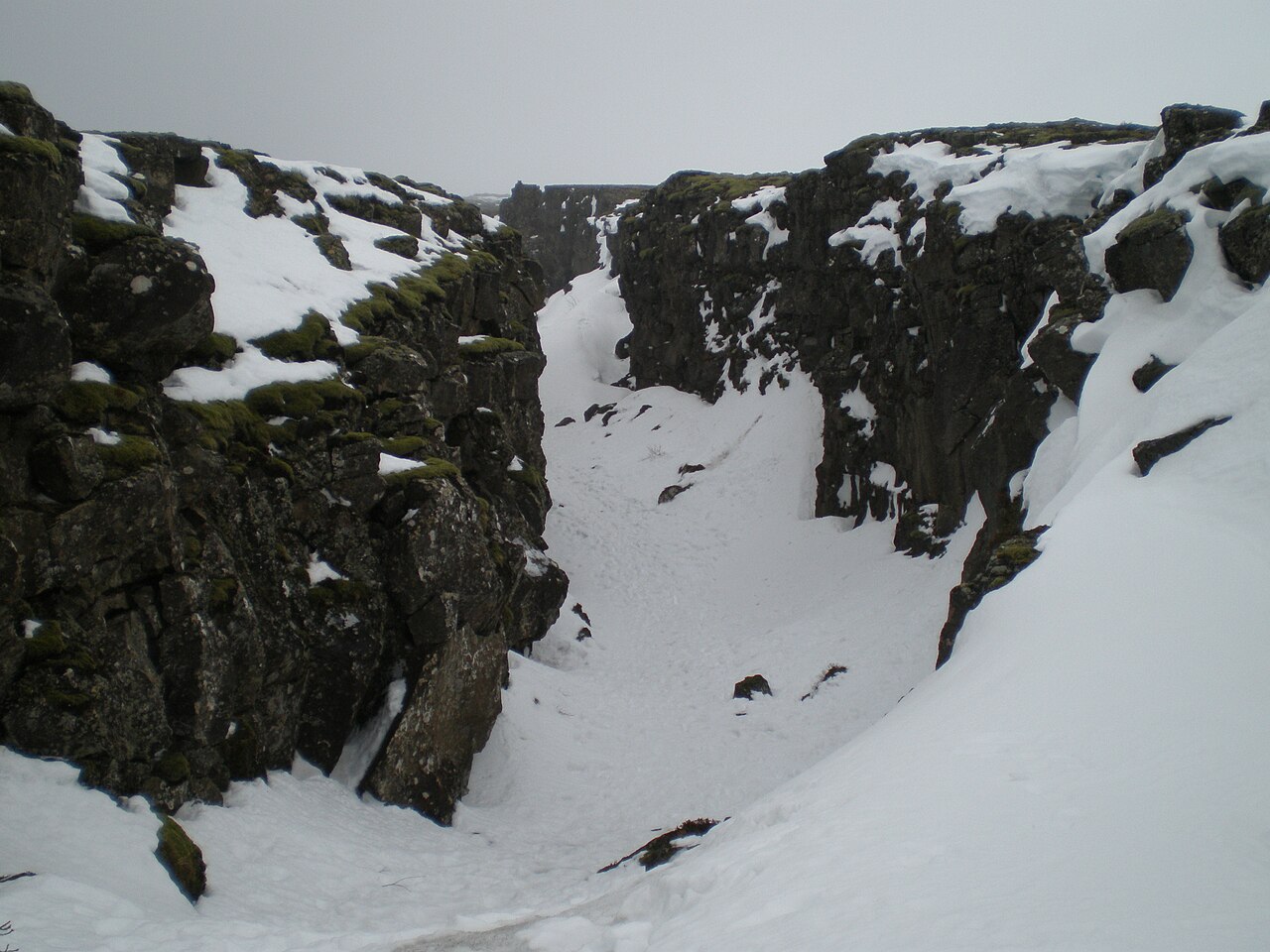
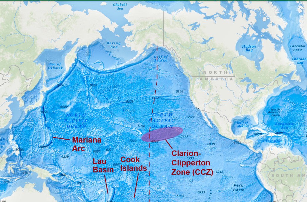
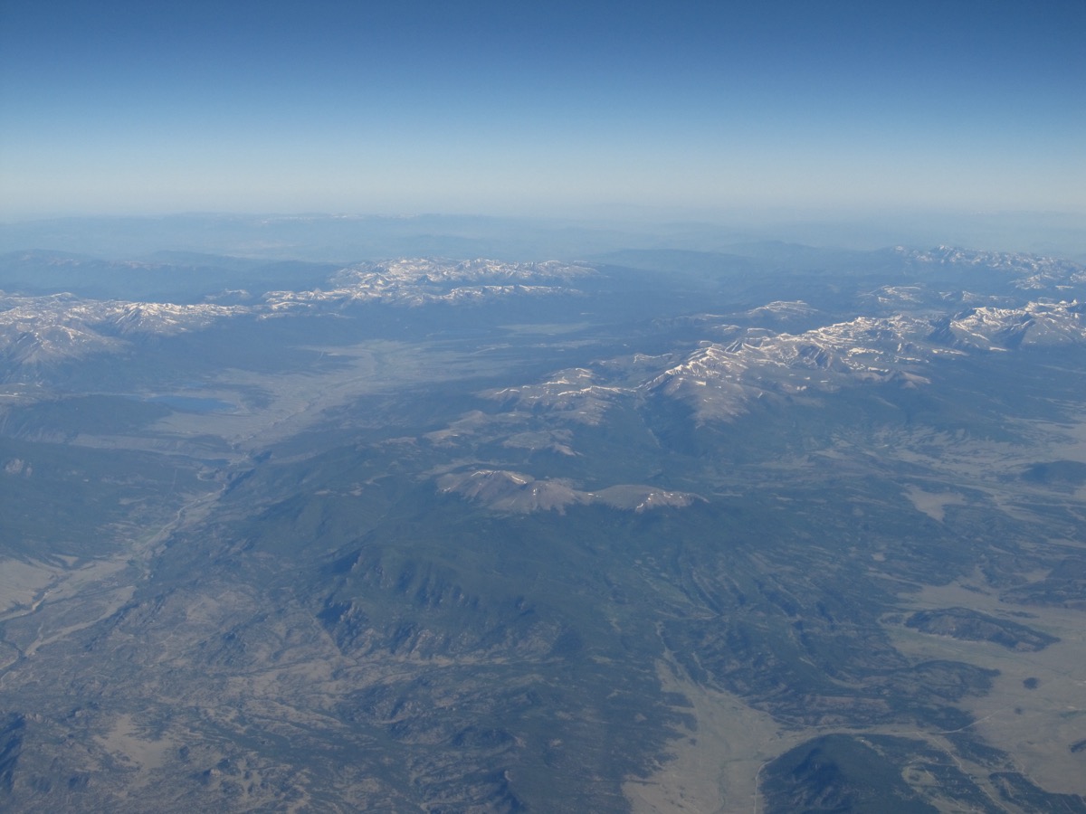
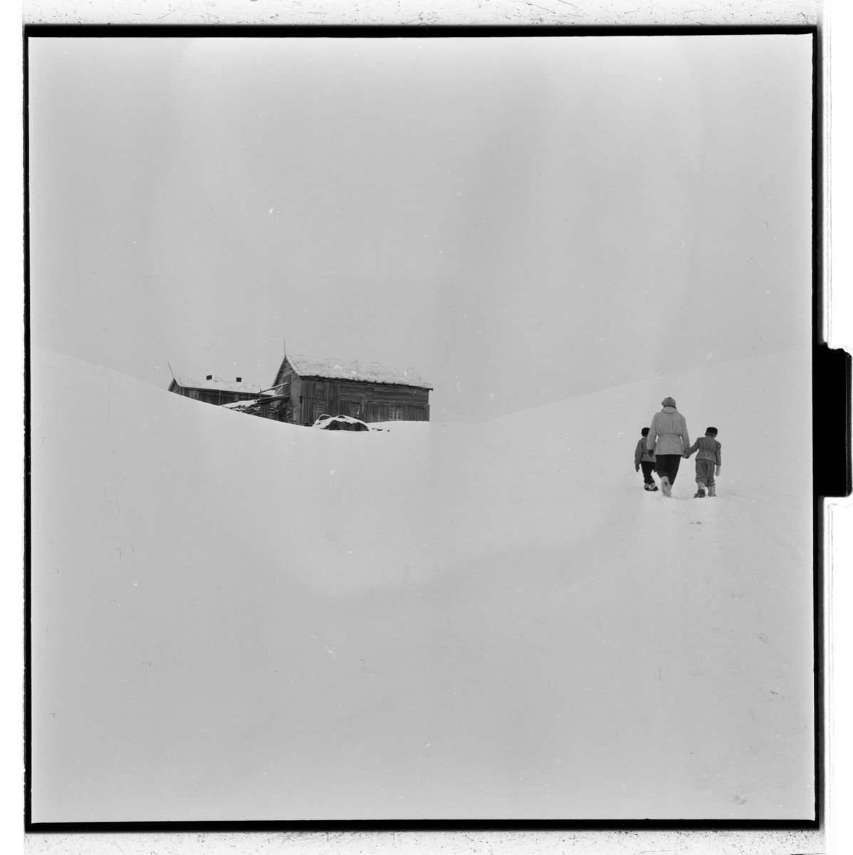
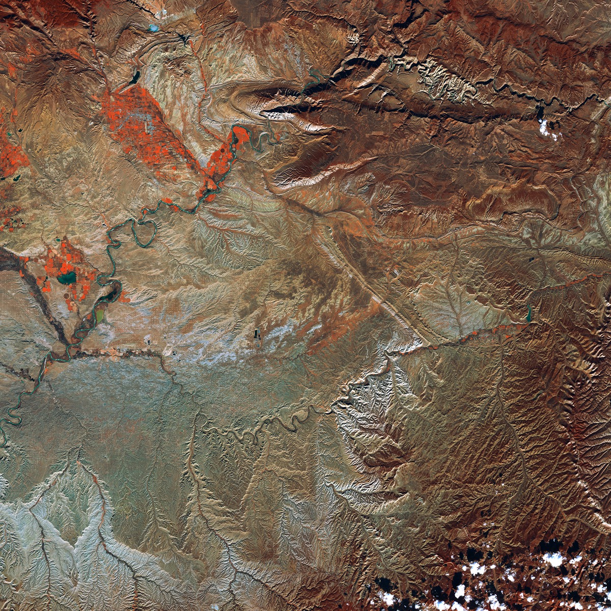
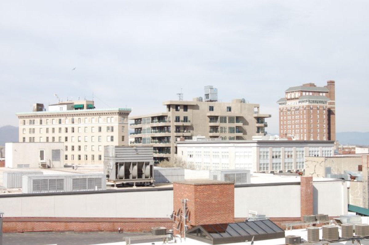
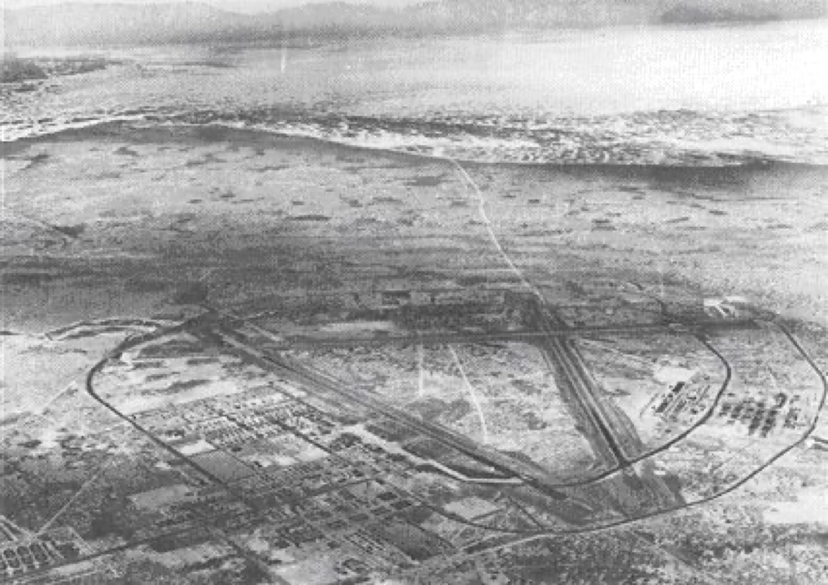
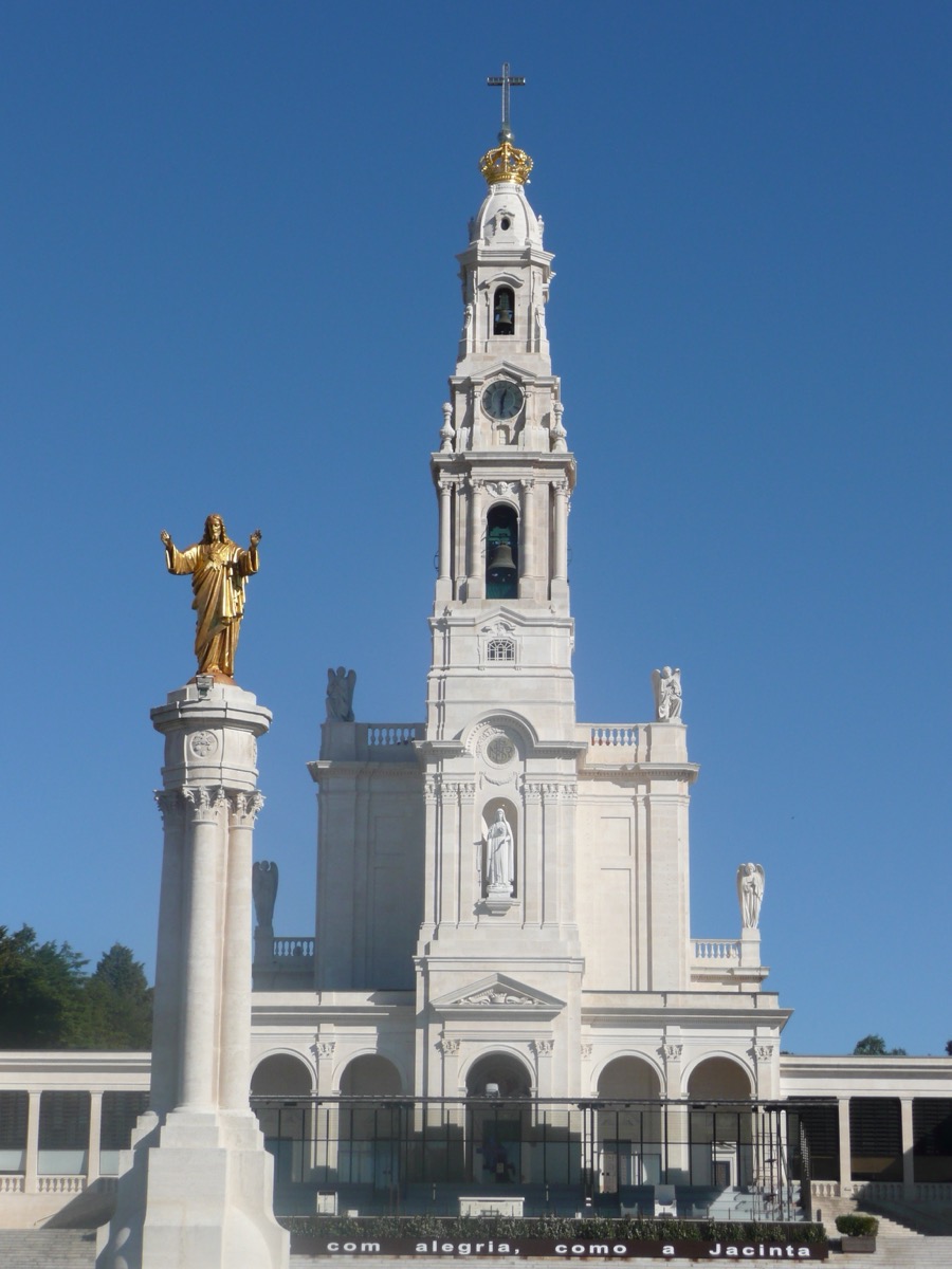
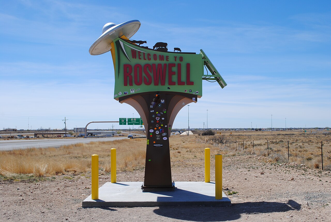
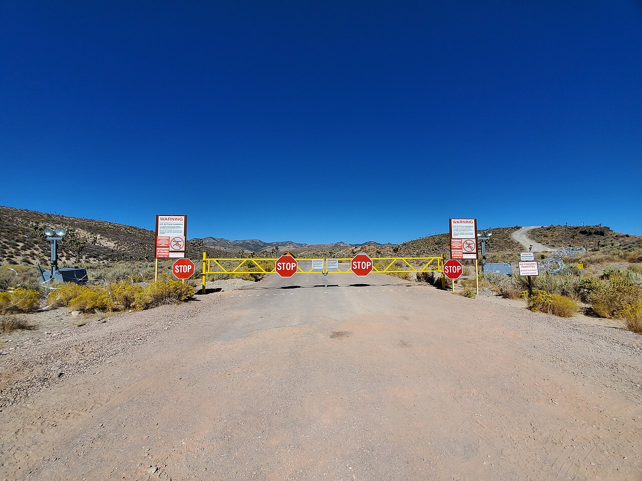
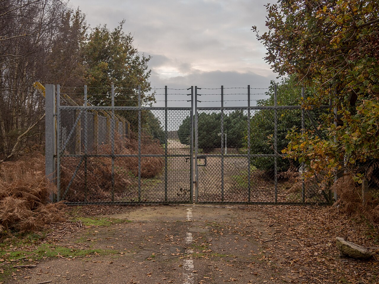
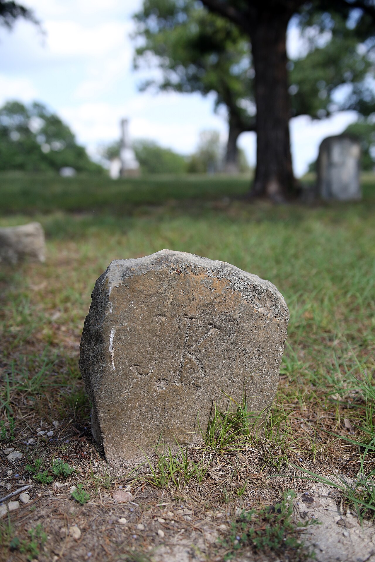
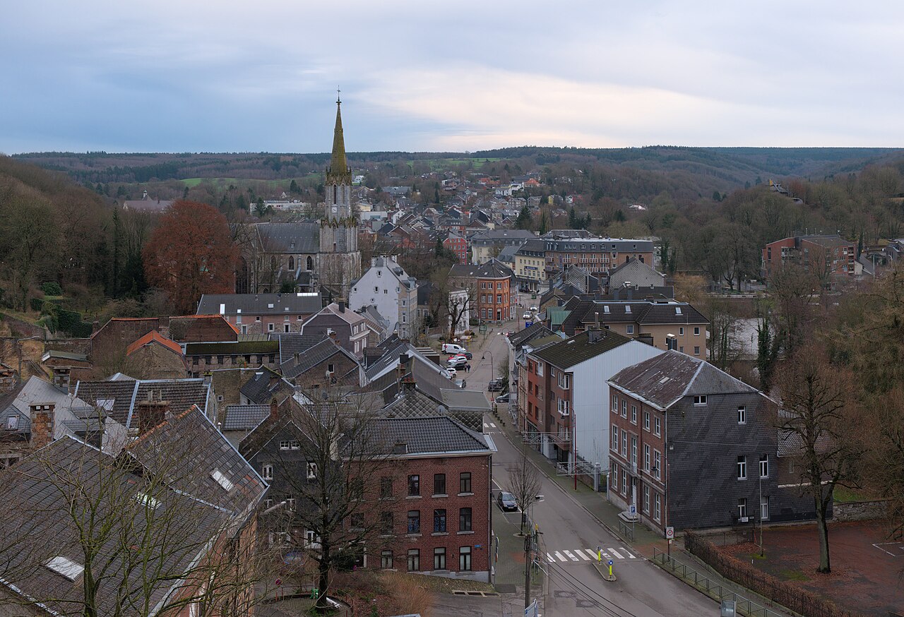
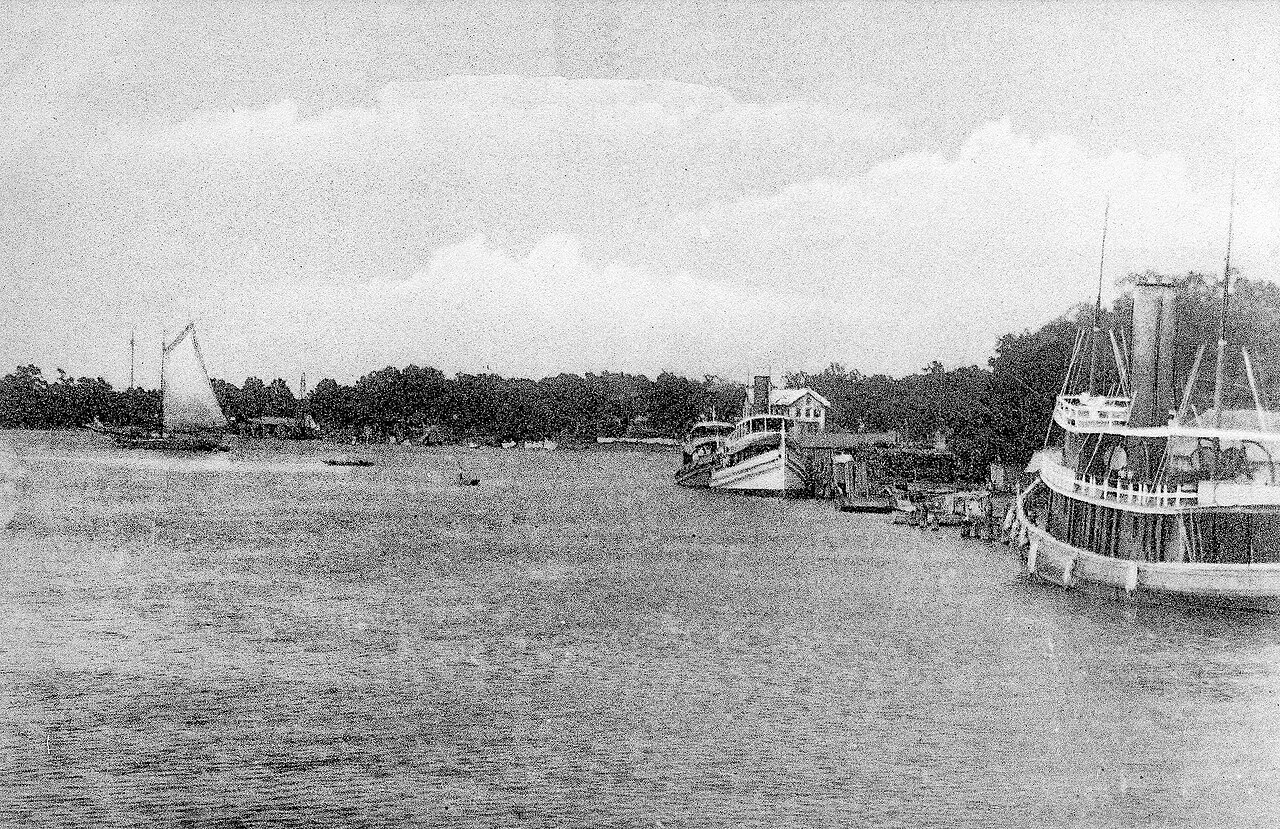
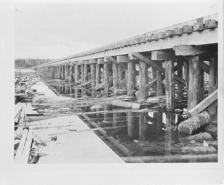
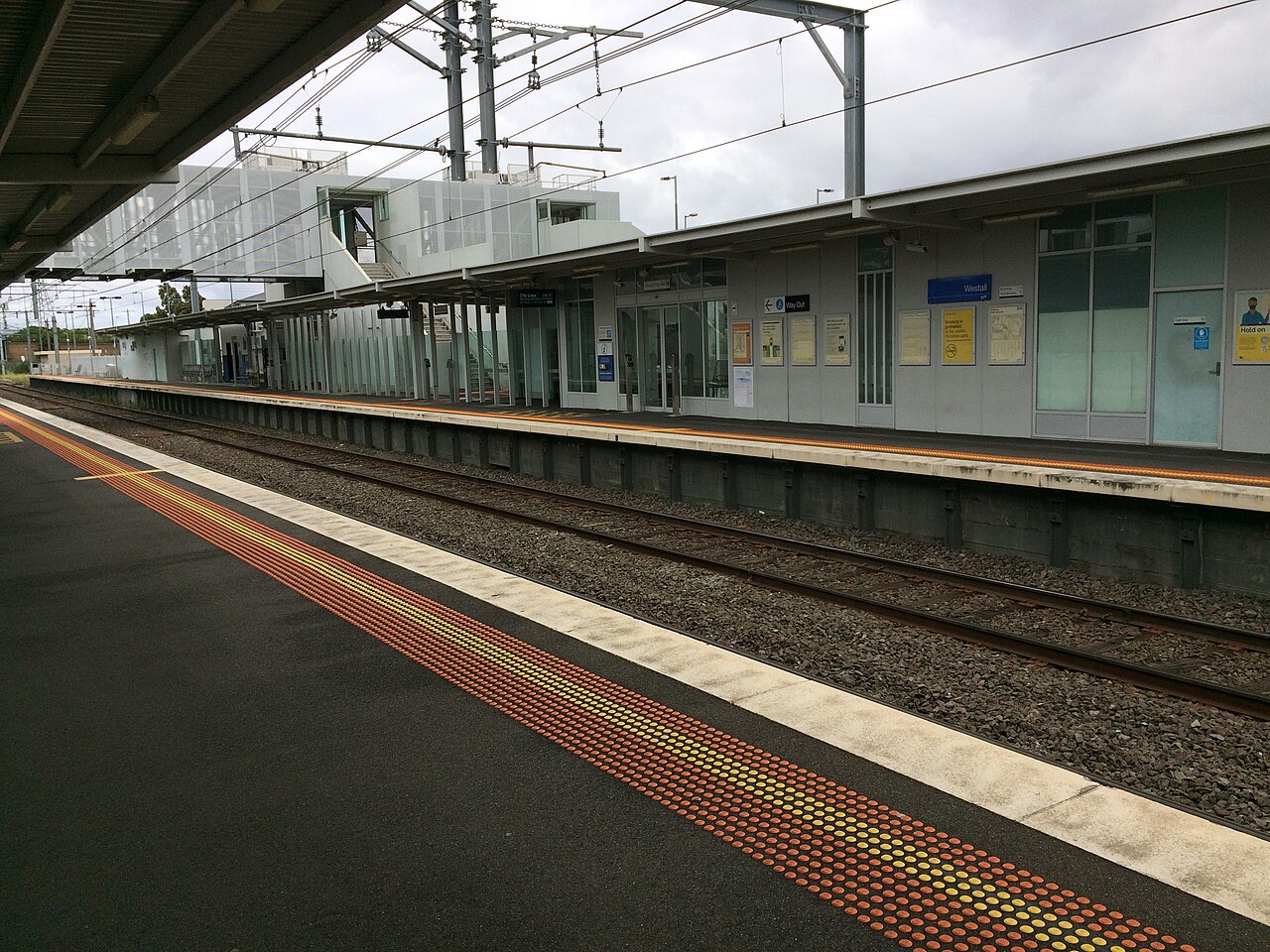
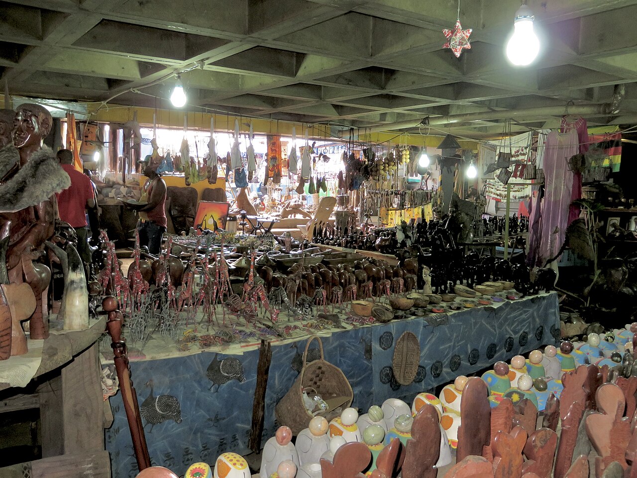
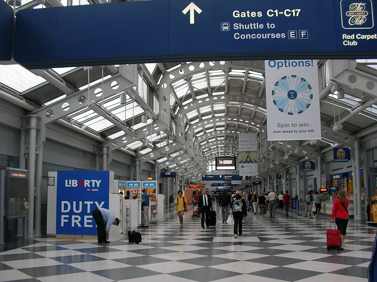
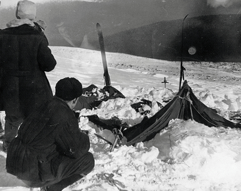
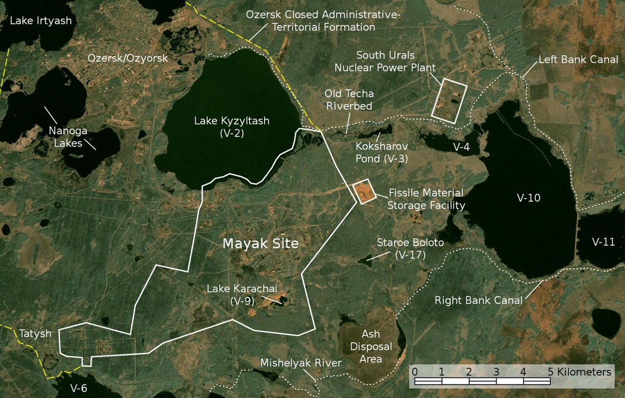
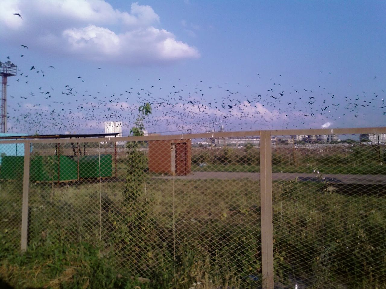
Photographs from the public record, cropped to a single aspect ratio and arranged on the grid like blocks of poster type. The geography is shared; the strangeness is what the cosmology adds.

  1. Vostok Station & Lake Vostok 01 Vostok Station & Lake Vostok 78°27′S, 106°50′E East Antarctic Plateau — Russian research station; subglacial lake beneath ~4 km of ice
  2. Mariana Trench & Challenger Deep 02 Mariana Trench & Challenger Deep 11°22′N, 142°35′E Western Pacific — deepest known oceanic trench; Challenger Deep at ~10,935 m
  3. Kola Superdeep Borehole 03 Kola Superdeep Borehole 69°23′N, 30°36′E Kola Peninsula, near Zapolyarny, Murmansk Oblast, Russia — deepest artificial hole on Earth
  4. Putorana Plateau 04 Putorana Plateau 69°N, 95°E Central Siberia, north of the Arctic Circle — basalt trap 800 × 500 km, near the geographic center of Russia
  5. Tibesti Mountains 05 Tibesti Mountains 21°N, 17°E Central Sahara, northern Chad — shield-volcano range with hot springs
  6. Atlantic Abyssal Plain 06 Atlantic Abyssal Plain 30°N, 40°W (approx.) Floor of the North Atlantic — vast, largely unmapped abyssal terrain
  7. Clarion-Clipperton Zone 07 Clarion-Clipperton Zone 0°–20°N, 110°–160°W Central Pacific — abyssal seabed-mining region between Hawaiʻi and Mexico
  8. Wright-Patterson AFB 08 Wright-Patterson AFB 39°49′N, 84°02′W Greene/Montgomery County, Ohio — United States Air Force base, headquarters of Air Force Materiel Command
  9. False Cape State Park, Virginia 09 False Cape State Park, Virginia 36°36′N, 75°53′W Atlantic coast of Virginia, south of Virginia Beach — undeveloped barrier-island state park
  10. Castel Gandolfo & the Vatican Observatory 10 Castel Gandolfo & the Vatican Observatory 41°44′N, 12°39′E Alban Hills, Lazio, Italy — papal summer residence; Specola Vaticana headquarters
  11. Tonopah & the Mizpah Hotel 11 Tonopah & the Mizpah Hotel 38°04′N, 117°14′W Central Nevada, high desert on US 95 — silver-mining town; Mizpah Hotel built 1907
  12. Tonopah Test Range 12 Tonopah Test Range 37°47′N, 116°47′W Southern Nye County, Nevada — restricted USAF/DOE test range, ~625 sq mi
  13. Mosquito Range, Colorado 13 Mosquito Range, Colorado 39°15′N, 106°10′W Central Colorado — north-south range between the Arkansas and South Platte drainages
  14. Marfa, Texas 14 Marfa, Texas 30°18′N, 104°01′W Presidio County, Far West Texas — high desert plateau, elevation 1,475 m
  15. Hessdalen Valley 15 Hessdalen Valley 62°47′N, 11°11′E Holtålen, Sør-Trøndelag, Norway — narrow north–south valley at ~750 m elevation
  16. Uintah Basin, Utah 16 Uintah Basin, Utah 40°05′N, 109°30′W Northeastern Utah — structural basin between the Uinta Mountains and the Tavaputs Plateau
  17. Manzano Mountains, New Mexico 17 Manzano Mountains, New Mexico 34°36′N, 106°22′W Central New Mexico — small range south of Albuquerque, immediately east of Kirtland AFB
  18. Mount Shasta, California 18 Mount Shasta, California 41°24′N, 122°12′W Siskiyou County, far Northern California — stratovolcano of the Cascade Range, 4,322 m
  19. Asheville, North Carolina 19 Asheville, North Carolina 35°36′N, 82°33′W Buncombe County, western North Carolina — Blue Ridge Mountains, elevation ~650 m
  20. Holloman Air Force Base / Alamogordo 20 Holloman Air Force Base / Alamogordo 32°51′N, 106°06′W Otero County, New Mexico — Tularosa Basin, adjacent to White Sands
  21. Fátima, Portugal 21 Fátima, Portugal 39°37′N, 8°40′W Cova da Iria, Ourém municipality, central Portugal — Marian apparition site, 1917
  22. Roswell, New Mexico 22 Roswell, New Mexico 33°23′N, 104°31′W Chaves County, southeastern New Mexico — high plains town on US 285; site of the 1947 incident
  23. Area 51 / Groom Lake 23 Area 51 / Groom Lake 37°14′N, 115°48′W Lincoln County, southern Nevada — detachment of Edwards AFB on the Nevada Test and Training Range
  24. Rendlesham Forest 24 Rendlesham Forest 52°05′N, 1°27′E Suffolk, England — pine plantation adjacent to the former RAF Bentwaters / RAF Woodbridge twin-base complex
  25. Mount Rainier, Washington 25 Mount Rainier, Washington 46°51′N, 121°45′W Pierce County, Washington — active stratovolcano of the Cascade Range, 4,392 m
  26. Aurora, Texas 26 Aurora, Texas 33°03′N, 97°31′W Wise County, North Texas — small town northwest of Fort Worth on State Highway 114
  27. Maury Island, Washington 27 Maury Island, Washington 47°22′N, 122°26′W Puget Sound, King County, Washington — small island connected to Vashon Island by an isthmus
  28. Phoenix, Arizona 28 Phoenix, Arizona 33°27′N, 112°04′W Maricopa County, Arizona — capital of Arizona, Salt River Valley
  29. Stephenville, Texas 29 Stephenville, Texas 32°13′N, 98°12′W Erath County, North Central Texas — small city southwest of Fort Worth
  30. Belgian UFO Wave (Eupen / Wallonia) 30 Belgian UFO Wave (Eupen / Wallonia) 50°38′N, 6°02′E Eupen and Wallonia, eastern Belgium — initial sightings in the German-speaking community near the Dutch and German borders
  31. Dulce, New Mexico 31 Dulce, New Mexico 36°56′N, 106°59′W Rio Arriba County, northwestern New Mexico — seat of the Jicarilla Apache Nation
  32. Yamashita Treasure Tunnels, Philippines 32 Yamashita Treasure Tunnels, Philippines 14°35′N, 121°00′E Multiple sites across Luzon, Philippines — alleged WWII Imperial Japanese gold-cache tunnel complexes
  33. Bermuda Triangle 33 Bermuda Triangle 25°N, 71°W (approx. center) Western North Atlantic — region bounded approximately by Miami, San Juan, and Bermuda
  34. Devils Tower, Wyoming 34 Devils Tower, Wyoming 44°35′N, 104°43′W Crook County, northeastern Wyoming — Bear Lodge Ranger District, Black Hills National Forest
  35. Trindade Island, Brazil 35 Trindade Island, Brazil 20°31′S, 29°19′W South Atlantic — Brazilian island ~1,200 km east of Vitória; Brazilian Navy station
  36. Hudson Valley, New York 36 Hudson Valley, New York 41°25′N, 73°55′W Lower Hudson Valley — Westchester, Putnam, Dutchess, and Orange Counties, New York / Fairfield County, Connecticut
  37. Brown Mountain, North Carolina 37 Brown Mountain, North Carolina 35°56′N, 81°56′W Burke County, western North Carolina — Pisgah National Forest ridge between Linville Gorge and Lake James
  38. Bonnybridge, Scotland 38 Bonnybridge, Scotland 56°00′N, 3°53′W Falkirk Council Area, Central Lowlands of Scotland — small town in the so-called 'Falkirk Triangle'
  39. Kecksburg, Pennsylvania 39 Kecksburg, Pennsylvania 40°10′N, 79°28′W Westmoreland County, southwestern Pennsylvania — unincorporated community near Mount Pleasant
  40. Pascagoula, Mississippi 40 Pascagoula, Mississippi 30°22′N, 88°33′W Jackson County, Mississippi Gulf Coast — small city on the Pascagoula River
  41. Allagash Waterway, Maine 41 Allagash Waterway, Maine 46°35′N, 69°15′W Aroostook County, northern Maine — Allagash Wilderness Waterway
  42. Apache–Sitgreaves National Forest, Arizona 42 Apache–Sitgreaves National Forest, Arizona 34°27′N, 110°27′W Navajo County, eastern Arizona — Mogollon Rim country between Snowflake and Heber-Overgaard
  43. Westall, Melbourne, Australia 43 Westall, Melbourne, Australia 37°57′S, 145°09′E South-eastern suburbs of Melbourne, Victoria — Clayton South / Westall area
  44. Ariel School, Ruwa, Zimbabwe 44 Ariel School, Ruwa, Zimbabwe 17°53′S, 31°15′E Mashonaland East Province, ~20 km east of Harare — primary school in farming community
  45. Catalina Channel / USS Nimitz strike group 45 Catalina Channel / USS Nimitz strike group 31°25′N, 117°15′W Pacific Ocean, off Baja California — operating area of Carrier Strike Group 11 during November 2004 workups
  46. O'Hare International Airport, Chicago 46 O'Hare International Airport, Chicago 41°58′N, 87°54′W Cook County, Illinois — primary international airport serving Chicago
  47. Dyatlov Pass 47 Dyatlov Pass 61°45′44″N, 59°27′32″E Northern Urals, Sverdlovsk Oblast, Russia — eastern slope of Kholat Syakhl ('Dead Mountain')
  48. Kyshtym Region / Mayak Production Association 48 Kyshtym Region / Mayak Production Association 55°43′N, 60°33′E Chelyabinsk Oblast, Russia — Ural Mountains nuclear-industrial region; closed cities of Ozyorsk and Kyshtym
  49. Sterlitamak Crash Site, Bashkortostan 49 Sterlitamak Crash Site, Bashkortostan 53°37′N, 55°57′E Republic of Bashkortostan, Russia — region southwest of Sterlitamak in the Southern Urals foothills
  50. 50 Mount Adams, Washington 46°12′N, 121°29′W Yakima and Skamania Counties, southern Washington — stratovolcano of the Cascade Range, 3,743 m; second-tallest peak in Washington
  51. 51 Sedona, Arizona 34°52′N, 111°45′W Yavapai and Coconino Counties, central Arizona — Verde Valley, Red Rock country, elevation 1,372 m
  52. 52 Tularosa Basin / Trinity Site 33°41′N, 106°28′W Otero, Doña Ana, Sierra, and Socorro Counties, south-central New Mexico — closed basin between the Sacramento and San Andres mountains
  53. 53 Mount Diablo, California 37°52′N, 121°54′W Contra Costa County, Northern California — isolated peak of the Diablo Range east of the San Francisco Bay, 1,173 m
  54. 54 Joshua Tree, California 33°51′N, 116°18′W San Bernardino County, southern California — high desert at the junction of the Mojave and Colorado deserts, elevation 800–1,200 m; gateway to Joshua Tree National Park
  55. 55 The Devil's Sea / Dragon's Triangle 25°N, 142°E (approx. center) Western Pacific — region of the Philippine Sea south of Japan, approximately bounded by Tokyo (Honshu), Iwo Jima, and Guam
03 6 entries

Themes

Six load-bearing themes. Each is a small reading path through the book and the codex. The grid keeps them parallel; the type scale keeps the spine subordinate to the label.

04 1 ch · 1 co

The Disinformation Apparatus

06 0 ch · 1 co

The Compression Event

04 6 bands

Periods

01
1956–1972 · The Founding
Wright-Patterson, Wexler, the working group.
02
1972–2017 · The Long Quiet
Bennewitz, the apparatus solidifies, Pop negotiates.
03
2017–2025 · Compression Event
NYT article, AATIP, Grusch testimony, MAR-26-013.
04
2026 · The Convocation
Marisol's cycle, Eric dies, the SCIF meeting.
05
2052 and after
Marisol at sixty-five, back at Pop's house.
06
Deep past
Pleistocene boundary, Apkallu, the cultivation.
05 end of index

Colophon

Type
Inter, Arial, system-ui (the Helvetica stack)
Scale
8 / 10 / 14 / 20 / 48 pt
Grid
12 columns · 8pt baseline
Accent
Swiss-poster red   #d62828
Scan
171.0 ms
Return
/explore