Places
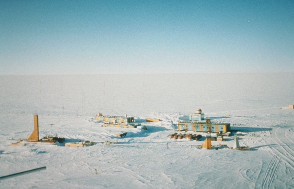
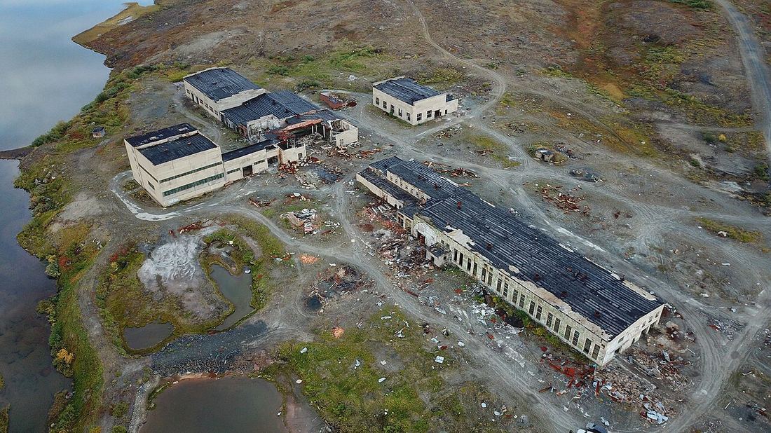
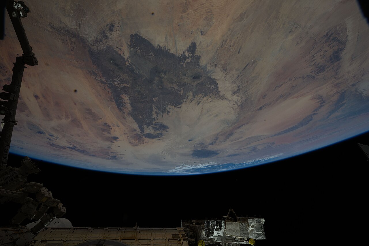
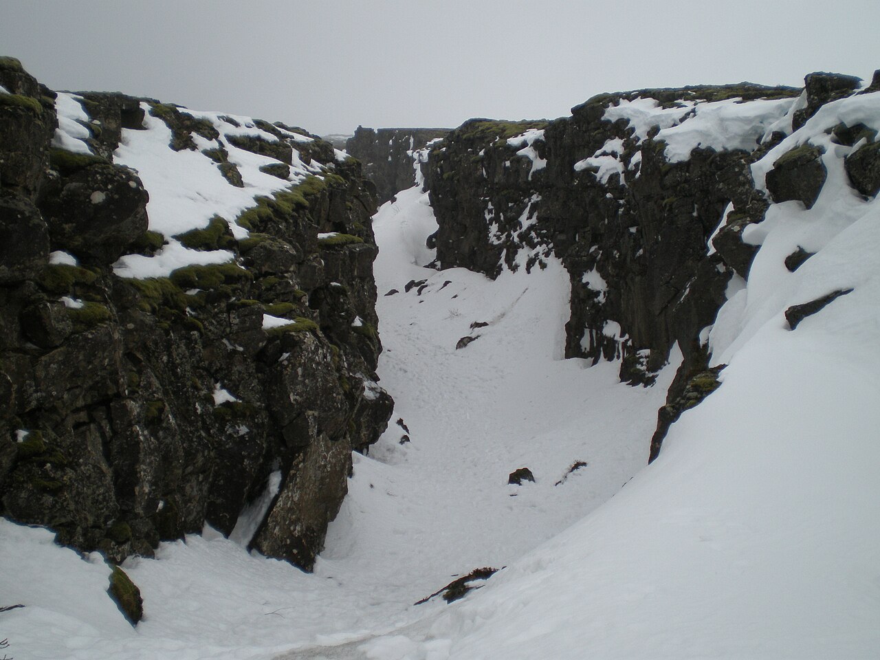
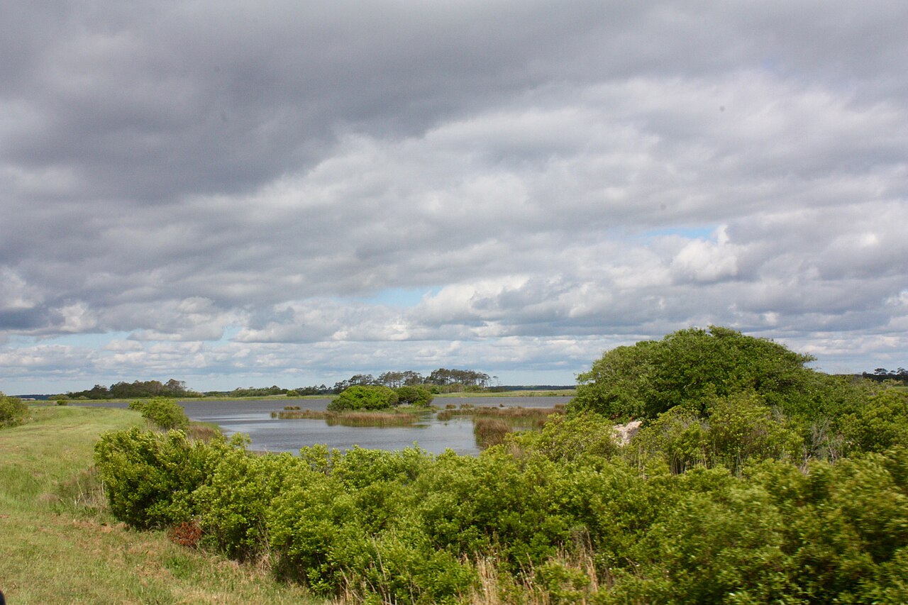
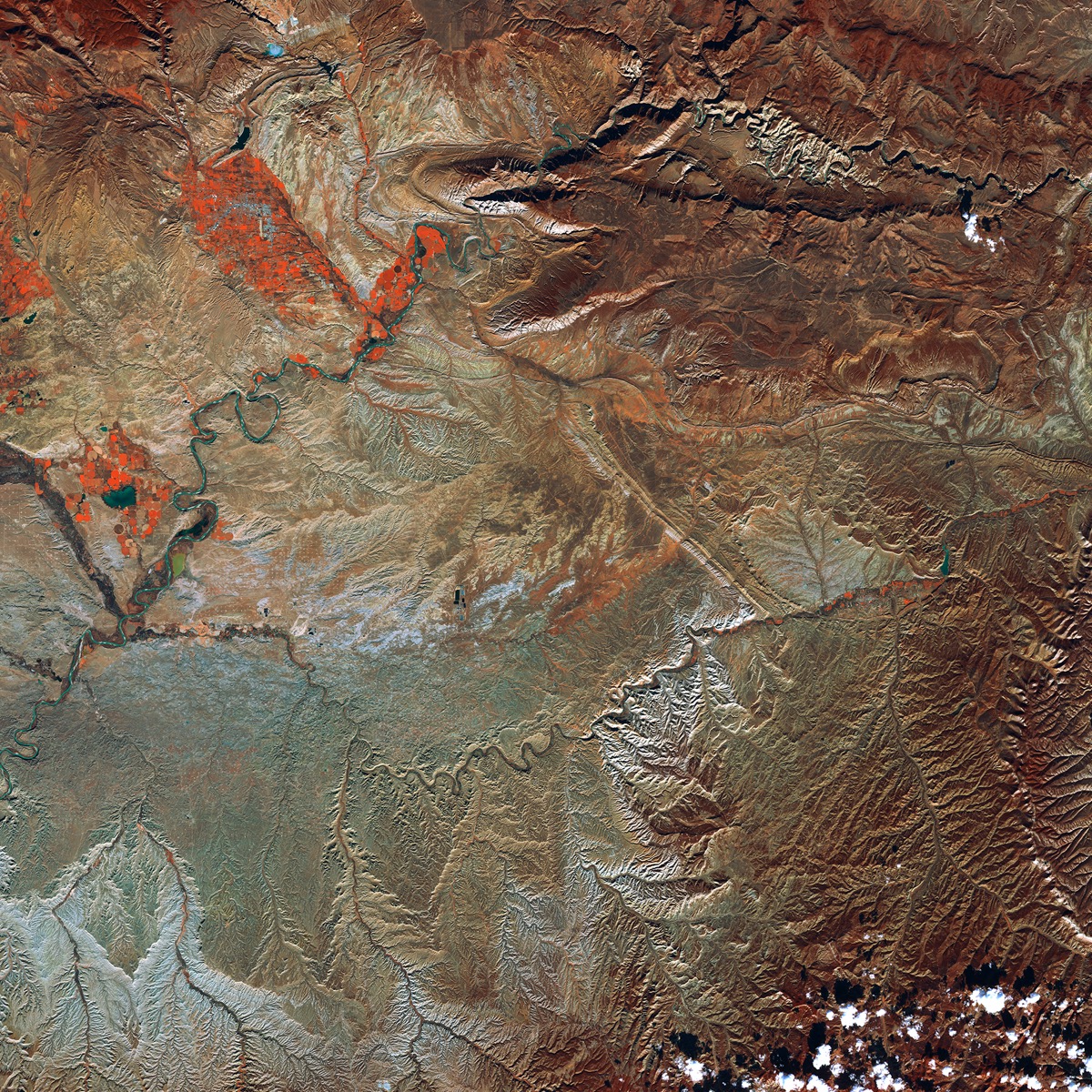
The codex names real places. This is the public record — photographs and bathymetric charts and satellite frames of the actual sites. Vostok is in East Antarctica. Kola is a welded hatch on the tundra outside Zapolyarny. The Tibesti is in Chad. The strangeness is what the cosmology adds; the geography is shared.
[from the public record]
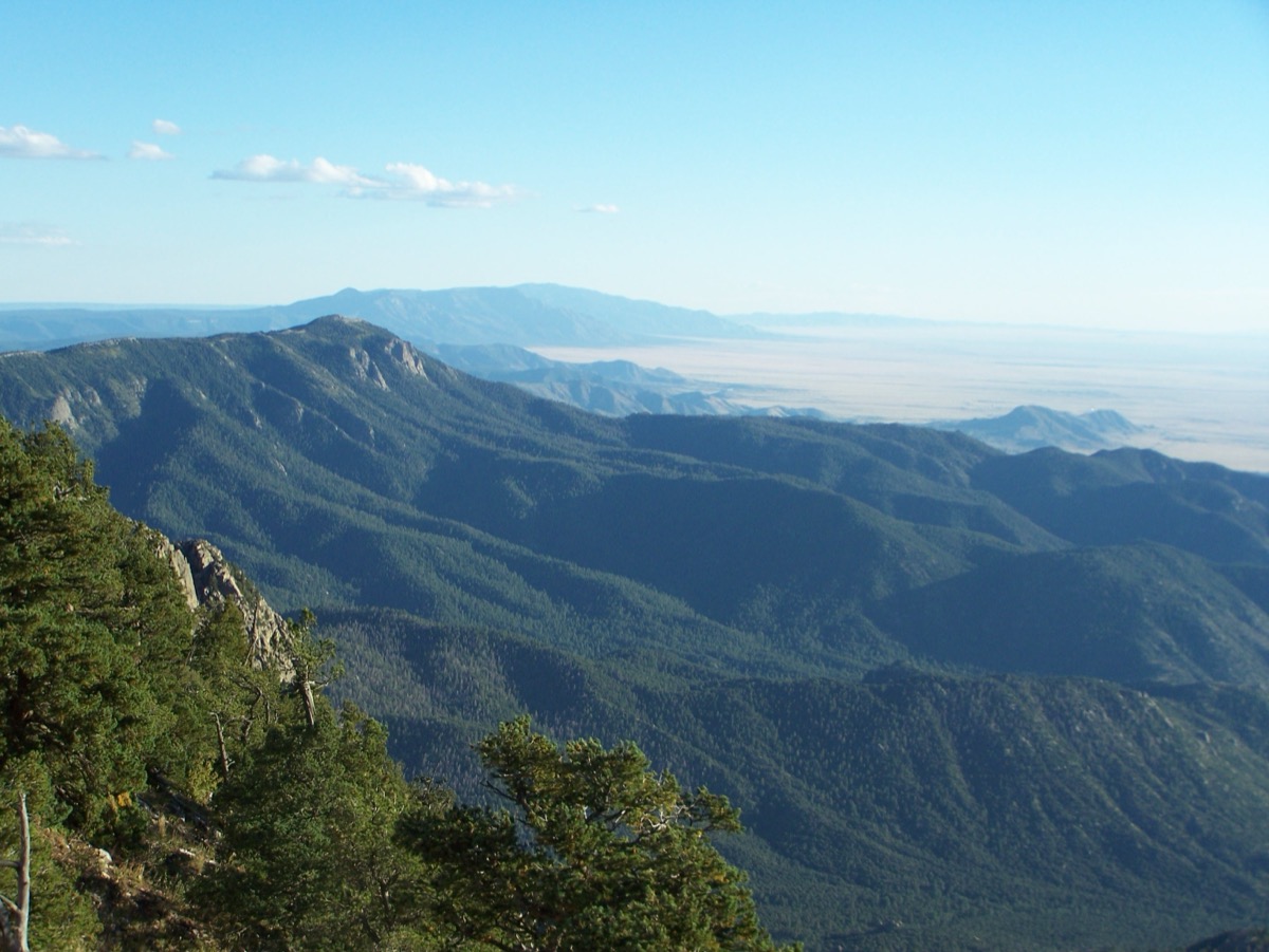
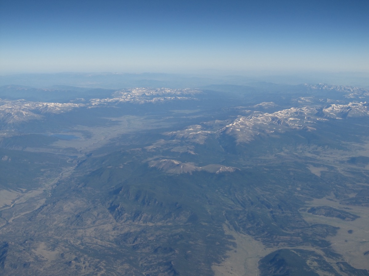
Refugia
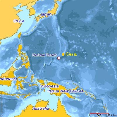
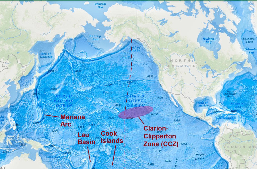
Geographies the cosmology names as substrate-side. The deep places — subglacial, abyssal, deep-crust, basalt-trap, deep-Sahara — where the Bell footprint is theorized to extend.
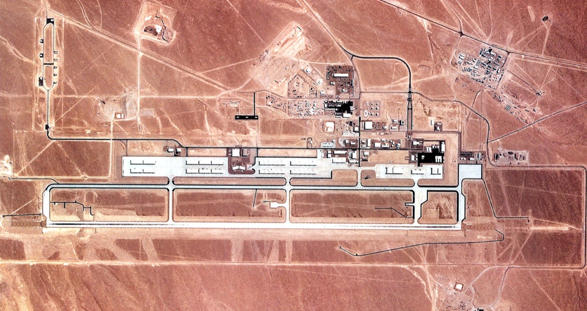
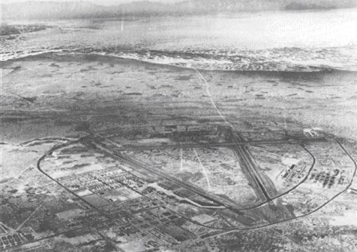
Apparatus sites
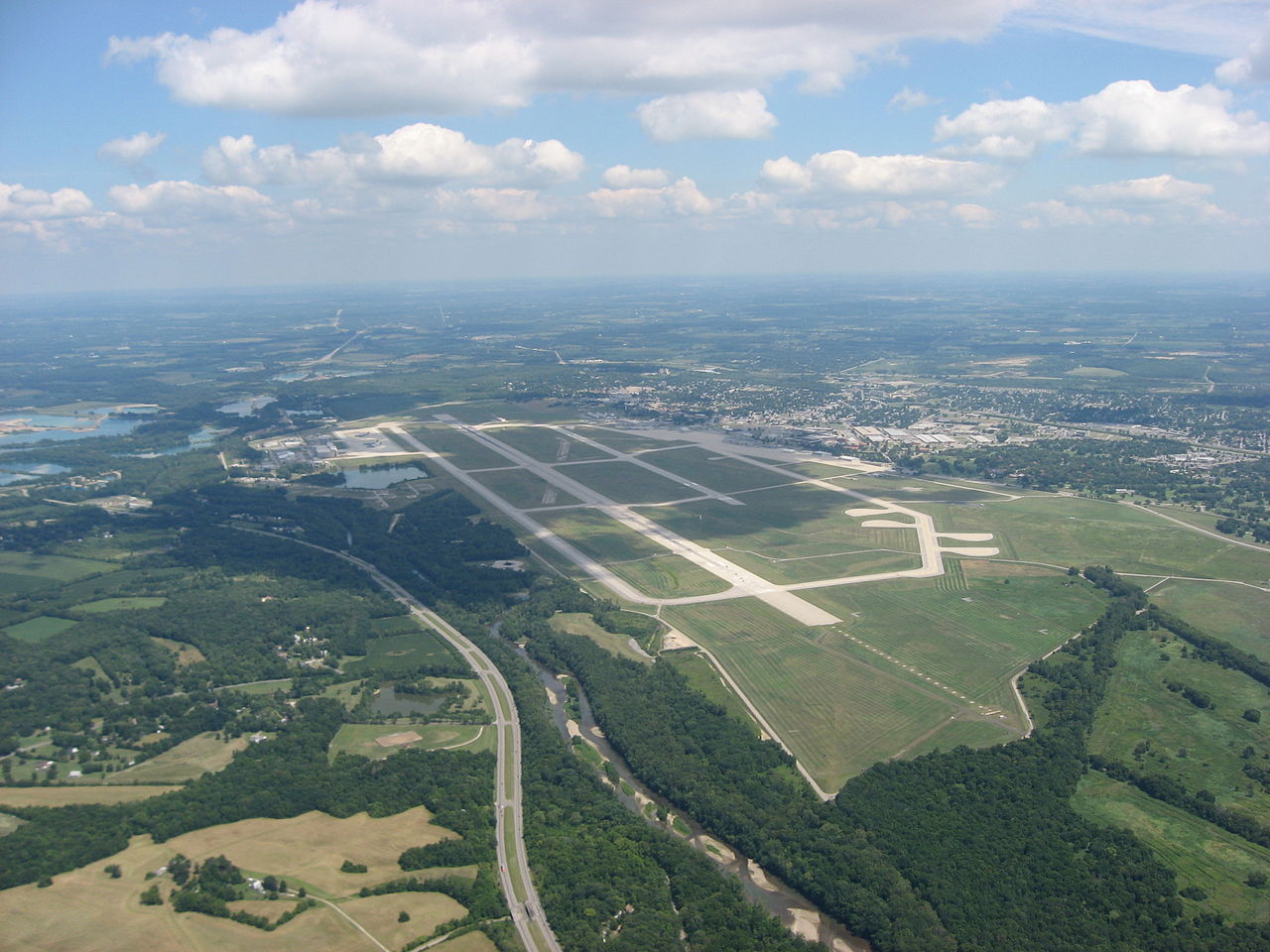
Twentieth-century military and intelligence installations the cosmology threads through. Operational record, not classified material.
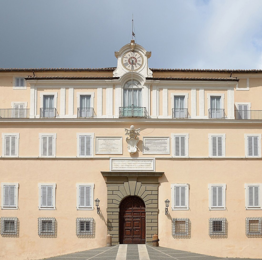
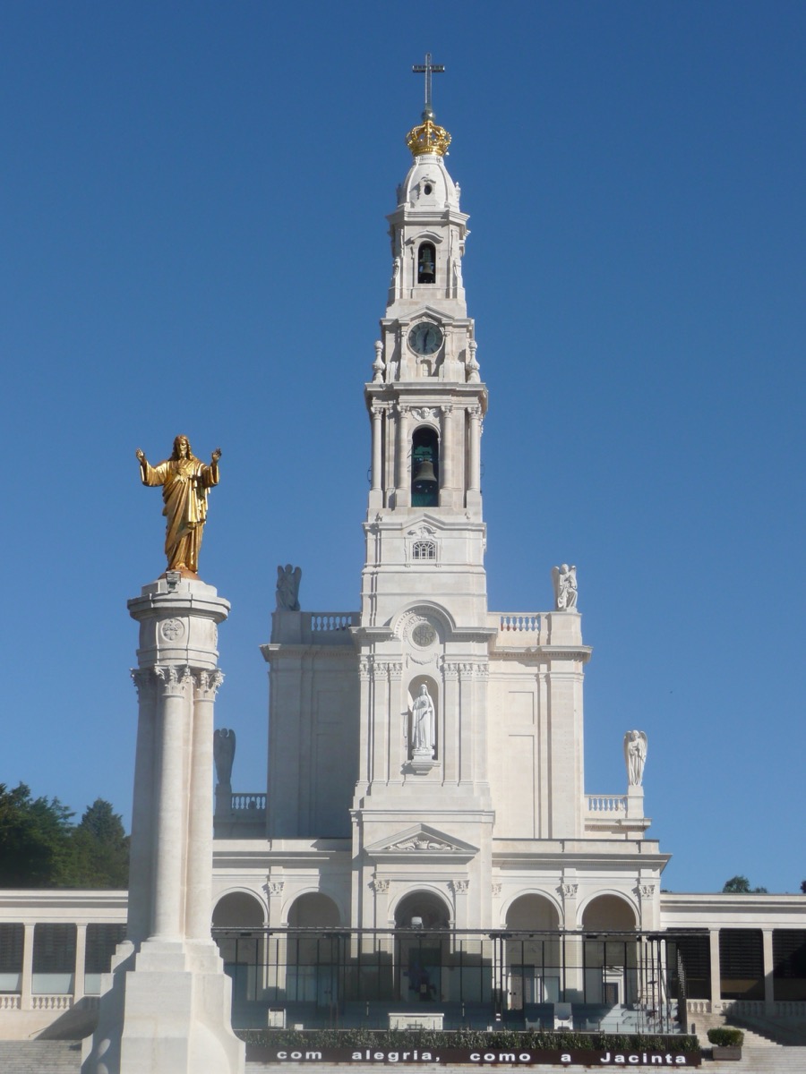
Religious-channel sites
Sites where the cosmology's 'religious channel' — Marian apparitions, observatory infrastructure — touches the public record.
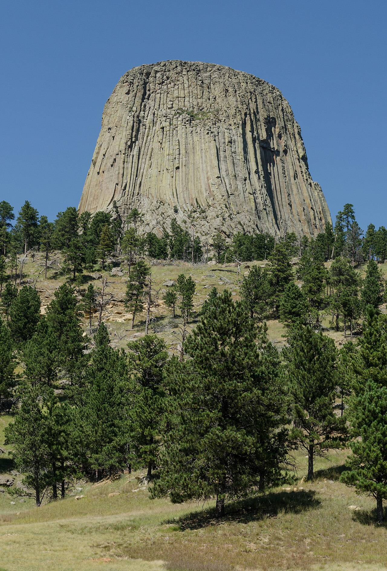
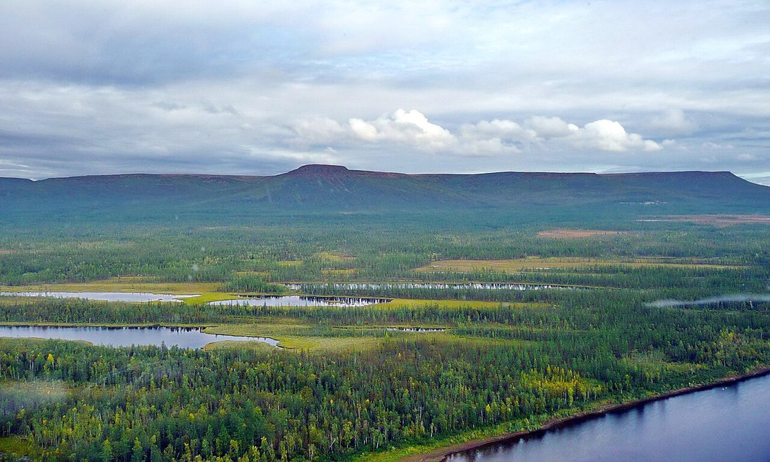
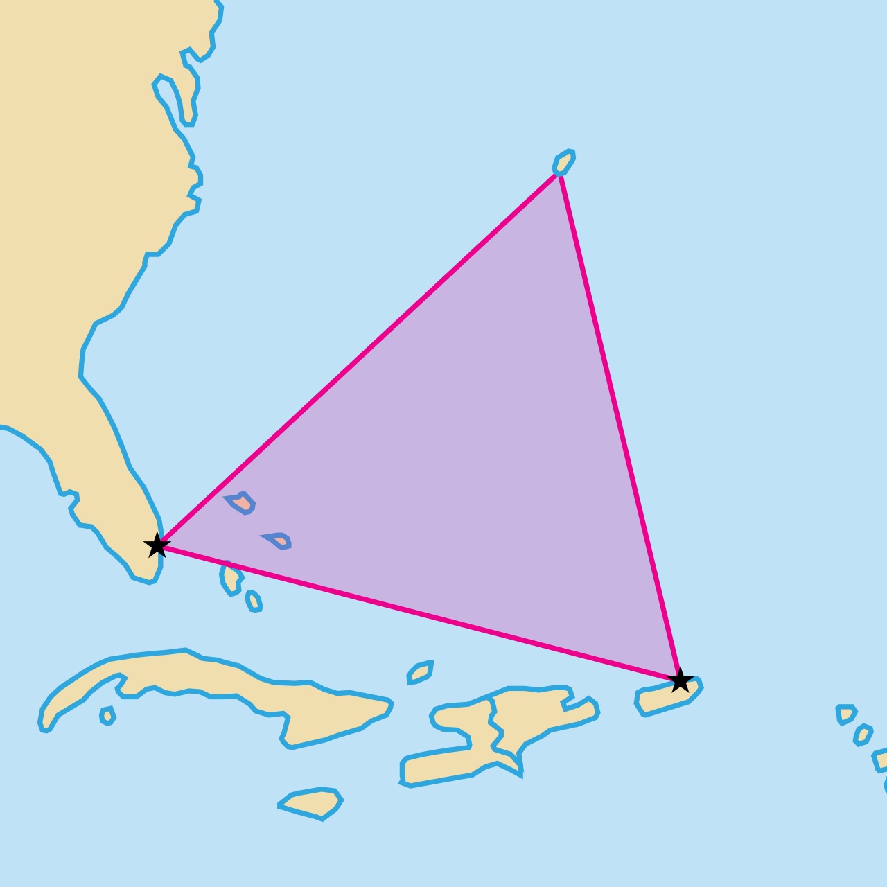
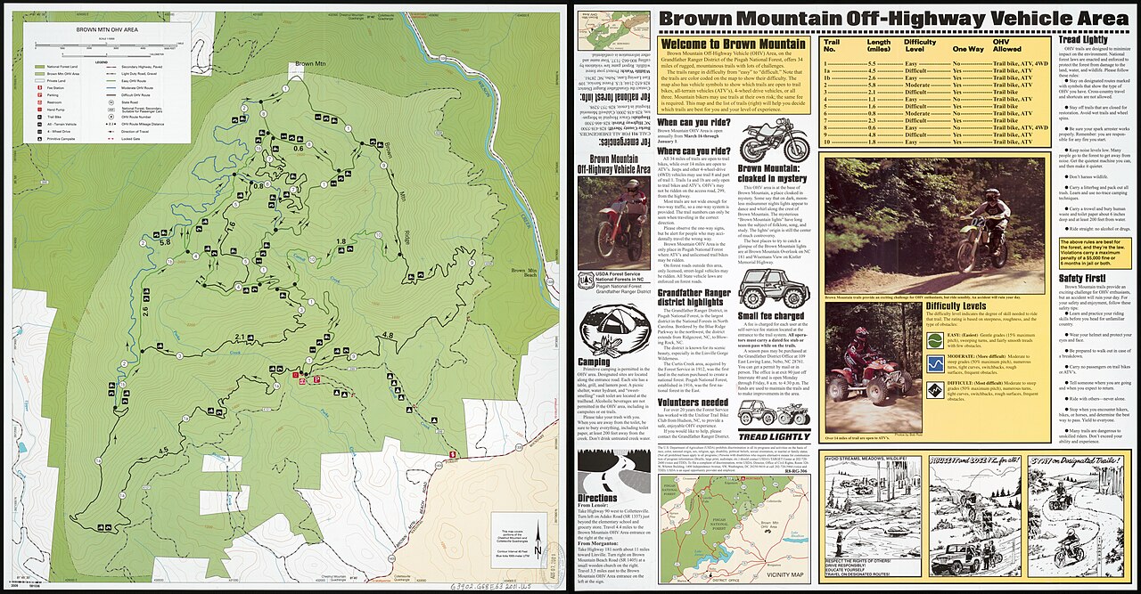
Low-fidelity zones
Places associated with recurring anomalous phenomena in the popular and academic literature — the geography only, not the phenomena.
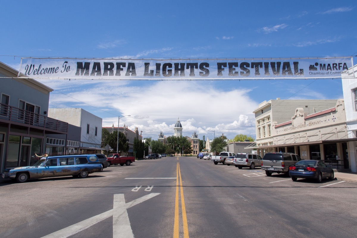
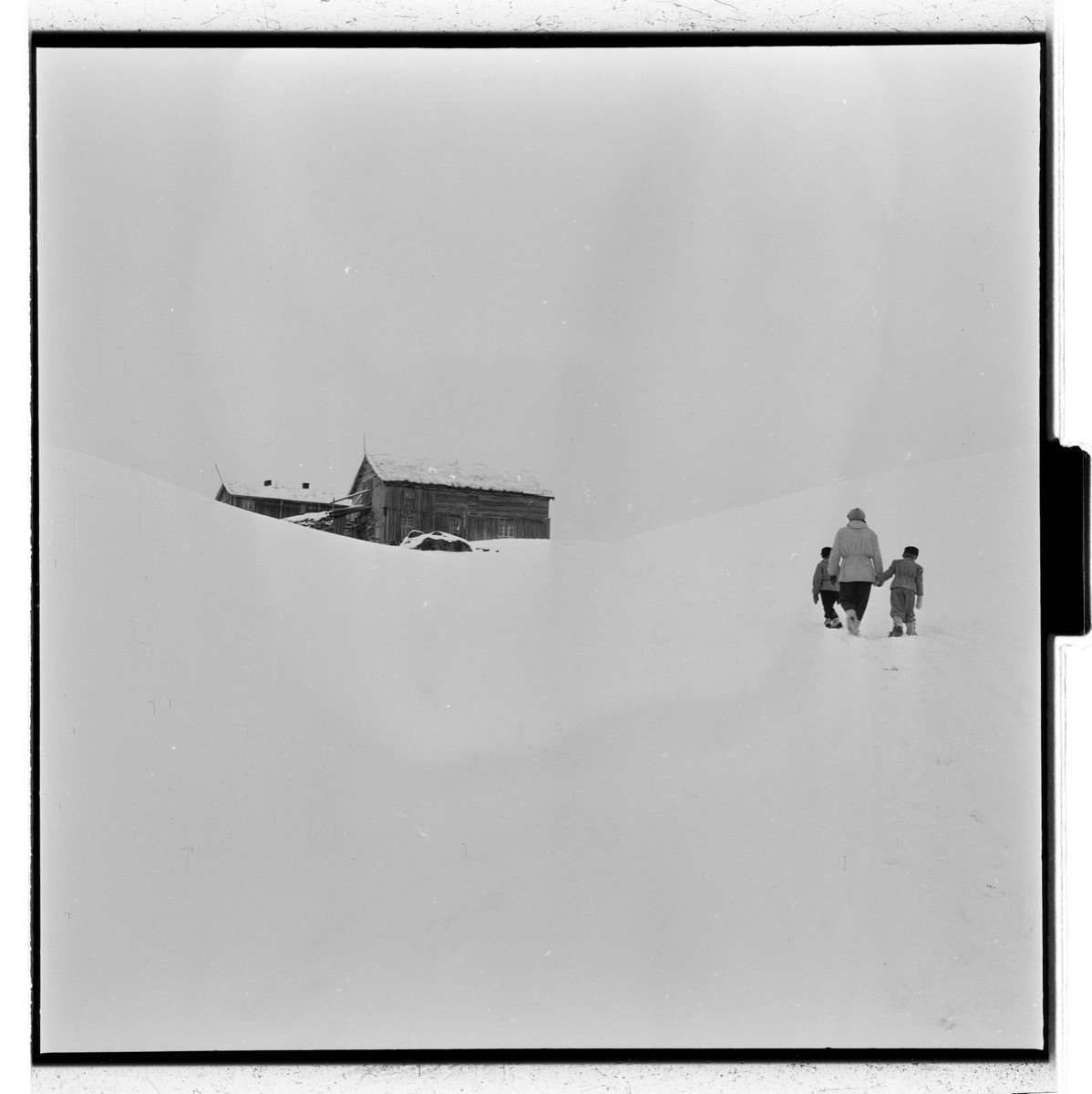
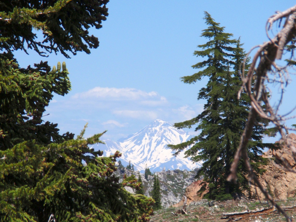
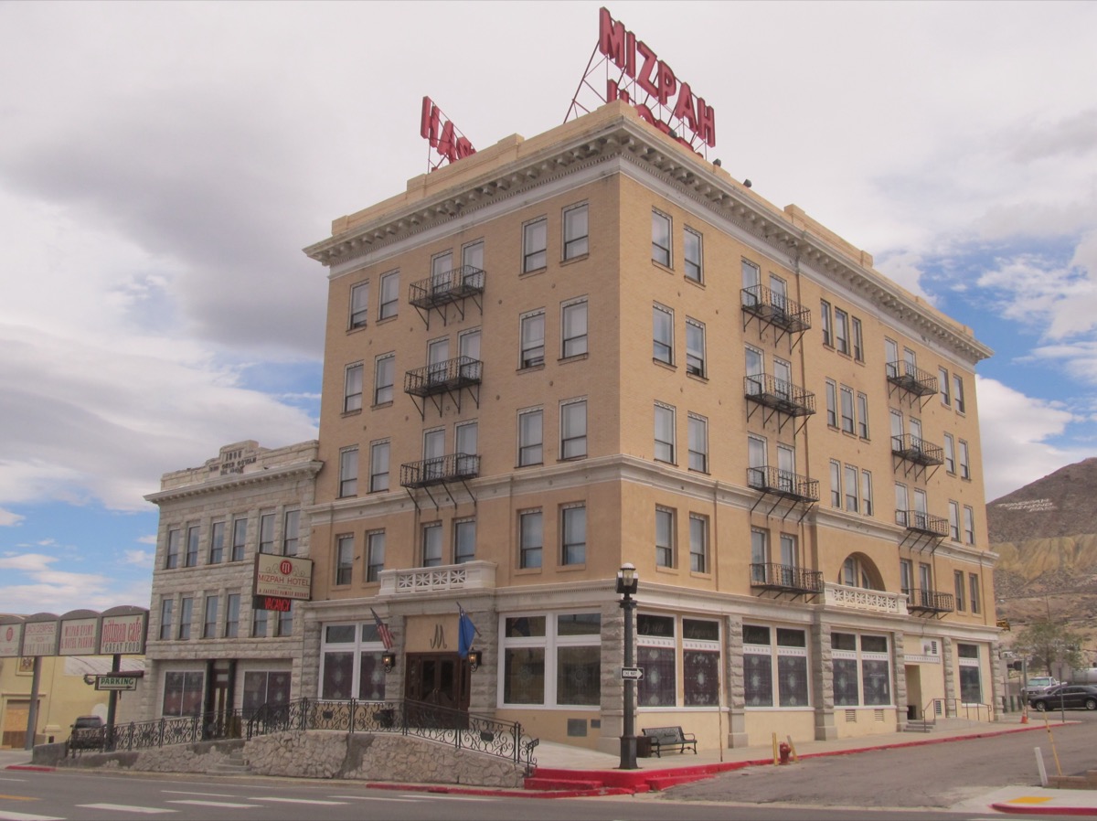
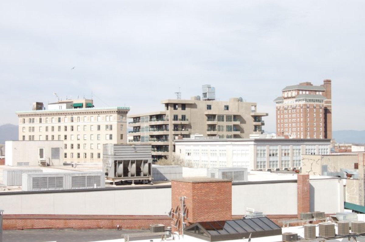
Literary settings
Towns and landscapes where the codex's first-person narrators wrote.
The record — incident sites
The places above are the cosmology's geography — the refugia, the fiction layer, the deep places the book names. Below is the other kind of place: the 194 real incident sites behind the deep dives — every location where something was seen, recorded, or investigated. Each links to its dive and carries the corpus's standing on it. Grouped by region; plotted below.
192 sites plotted (equirectangular; dot colour = corpus status). Hover a point for the case; click through to its dive. The full, labelled list is below.