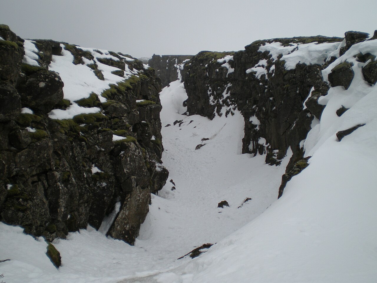
Atlantic Abyssal Plain
The flattest large geography on Earth. Average depth 4–6 km. Thousands of kilometers across. Almost entirely unmapped at the resolution we map land. In 1964 a US research vessel photographed a perfectly geometric object on the Antarctic seafloor at 3,904 m. It turned out to be a carnivorous sponge. The shape of the claim, however, is the cosmology in one image.
The Atlantic abyssal plain is the unbroken sediment-and-mud floor of the deep Atlantic, between the continental shelves and the mid-Atlantic ridge. There are several named sub-basins:
- Sohm Abyssal Plain — east of Nova Scotia, 4,800–5,500 m
- Hatteras Abyssal Plain — east of the US Mid-Atlantic, 5,300–5,500 m
- Demerara Abyssal Plain — off northern South America
- Cape Verde Abyssal Plain — south of the Canary Islands
- Iberian Abyssal Plain — west of Spain
They are, geologically, the flattest landscape on Earth. Sediment delivered by submarine canyons over hundreds of millions of years has graded the bottom to a surface that varies in elevation by millimeters per kilometer in places.
The numbers
| Average depth | 4,000–6,000 m |
| Total area (Atlantic abyssal) | ~16 million km² |
| Sediment thickness | up to several km |
| Surface mapped at <100 m resolution | <5% as of 2024 |
| Sustained scientific presence | essentially zero per km² |
The Atlantic does not have the trenches of the Pacific (no Mariana-class features here; the deepest Atlantic point, the Puerto Rico Trench, is 8,376 m — about three-quarters the depth of Challenger Deep). But the abyssal plain itself is vastly larger than the trench system, and almost totally unsurveilled.
What’s down there
- Manganese nodules. Potato-sized concretions of manganese, iron, nickel, copper, and rare earth elements that have been precipitating on the abyssal floor for millions of years. The Clarion-Clipperton Zone (Pacific) is currently the focus of commercial seabed mining proposals; the Atlantic plains contain analogous deposits.
- Cold seeps and chemosynthetic communities at the plain margins — ecosystems sustained by methane and hydrogen sulfide rather than sunlight.
- The remains of the Titanic (3,800 m, North Atlantic) and countless other shipwrecks. The Atlantic has been the world’s most-trafficked ocean for centuries; the floor is the bookshelf of that traffic.
- Mid-ocean ridge hydrothermal vents along the boundaries with the abyssal plain proper — entire ecosystems we did not know existed until 1977 when the DSV Alvin dive on the Galápagos Rift found them.
The Eltanin Antenna
On August 29, 1964, the USNS Eltanin, a Navy oceanographic research vessel, took a photograph of the seafloor southwest of Cape Horn (Antarctic margin, not technically Atlantic abyssal but the right aesthetic family). Depth: 3,904 m. The photograph shows a slender vertical object with a series of cross-pieces — unmistakably structured, unmistakably not geological at first glance. It looks like an antenna.
For several years it was treated as one of the most arresting unexplained photographs in oceanography. The UFO research community picked it up; Bruce Cathie (NZ pilot and earth-grid theorist) made it a centerpiece of his work. The 1964 New Zealand Herald article ran under the headline “Puzzle Picture From Sea Bed.”
In 1971 marine biologists Bruce C. Heezen and Charles D. Hollister identified the object as Chondrocladia concrescens, a deep-sea carnivorous sponge whose hollow stem is anchored by club-shaped appendages. The sponge, they wrote, “somewhat resembles a space-age microwave antenna.” The case was over.
Why it’s in this entry: the Eltanin Antenna is the cosmology in one image. A geometric-looking thing on the abyssal floor at 4 km. The photo is real. The depth is real. The location is real. The explanation that closed the case — a carnivorous sponge — is also a real and remarkable thing. The shape of “structured object photographed on deep seafloor, identified as unusual biology, lingers in conspiracy memory for decades” is the kind of data the cosmology runs on. Most of what’s at 4 km is unphotographed.
In the cosmology
The Atlantic abyssal plain is the negative-space member of the vast- openness typology. Vostok and Kola are intensively studied tiny areas in otherwise-empty geographies; Mariana is a deep point with a famous depth. The Atlantic abyssal is the average: thousands of kilometers of nothing, photographed almost nowhere, with the occasional Eltanin reminder that the “nothing” is selection bias.
The USOs concept assumes most underwater action is invisible. Atlantic abyssal is the invisibility budget — the amount of seafloor available for things to be near without being noticed.
Notable & intriguing
-
Less than ~26% of the global ocean floor has been mapped at high resolution as of 2024; the Atlantic abyssal plains are among the largest contiguous unmapped surfaces on the planet.
Seabed 2030 / GEBCO annual report, 2024.
-
The abyssal plains are among the flattest surfaces in the Solar System, with typical slopes under 1:1,000 over hundreds of kilometres — a consequence of millions of years of pelagic sediment burying older topography.
Heezen & Hollister, The Face of the Deep, 1971.
Public-record items already documented about this subject. Folklore is labelled. Sources cited where the specificity warrants it.
Sources
- Abyssal plain — Wikipedia
- Sohm Abyssal Plain — Wikipedia
- Eltanin Antenna — Wikipedia
- Hydrothermal vent — Wikipedia
Methodology assessments software-engineering rigor turned on the claim
BLACK BOX
  ─ ~16 million km² at 4-6 km depth, flattest large landscape on Earth
  ─ <5% mapped at high resolution
  ─ chemosynthetic / hydrothermal communities surprisingly common where mapped
  ─ documented archive of structured-looking photographs (Eltanin antenna 1964; others)
    that turned out to be biology — but only after years of uncertainty

STATE BOX
  ─ what's on the 95% unmapped
  ─ what proportion of unidentified hydrophone events have surface-coupled sources
  ─ what's at the margins between abyssal plain and hydrothermal vent regions

CLEAR BOX
  1. Mundane: an enormous, slow ecosystem we have barely sampled. Surprises (vents,
     carnivorous sponges) are real and natural. Pattern continues.
  2. CTH-ocean-broad: the abyssal plain is the *operating envelope* — the medium
     in which a CT-presence in the Mariana / Puerto Rico / South Sandwich trenches
     can move without being seen.

The Eltanin sits in the BLACK BOX as an *honest false positive* — exactly the kind
of data that the cosmology has to be careful about. The cosmology cannot lean on
images that turned out to be sponges. It can lean on the *fact that such images
exist*, because the existence proves we are pattern-completing into a real
information vacuum.
Relationships
Supporting content